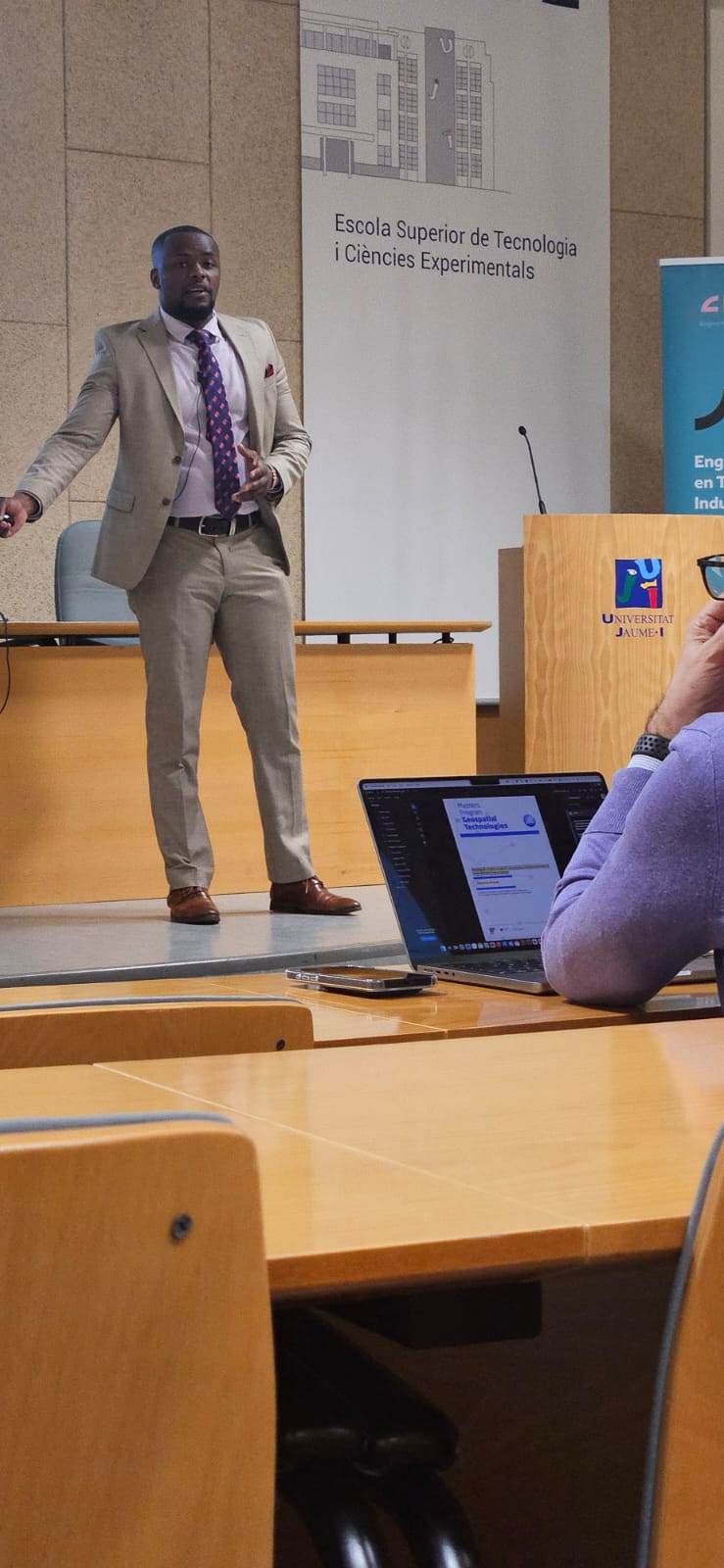
Michael Mwaruah

Hello welcome to my portfolio! I recently graduated with an MSc in Geospatial Technologies and I specialise in GIS, Remote Sensing, Data Science & Analysis, Machine Learning and Web & App DevOps.This portfolio features my professional work and experiences.

Recent Work

ABOUT ME


As a Geospatial professional my work focuses on leveraging tools like Python, R, JavaScript, SQL, Power BI, and Tableau to solve development, conservation, and humanitarian challenges—from automating spatial workflows to creating data-driven dashboards and supporting mapping. Explore my projects to see how I combine technical expertise, creativity, and a commitment to sustainability for impactful solutions.

LATEST WORK

Check out my latest work in remote sensing, GIS, interactive web mapping and app development!


Contact


Please feel free to contact me at my email address or through my LinkedIn Account below.


Email


mikesirya@gmail.com