I'm a mission-driven geospatial specialist using cutting-edge mapping technologies to build a more sustainable and equitable world. By transforming complex spatial data into actionable insights, I help solve critical challenges in development, conservation, and humanitarian response. My passion lies at the intersection of technical innovation and social impact, where every dataset tells a story that can drive real change.
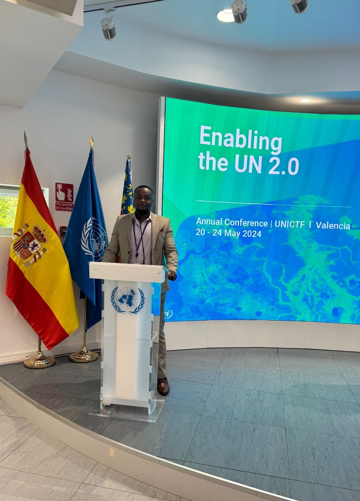
In my most recent role as a Junior Geospatial Information Specialist at UN-Mappers, I helped to design and develop dynamic dashboards and automate spatial data workflows to support United Nations operations worldwide. My work helped transform raw geospatial data into actionable insights for decision-makers addressing critical global development and humanitarian challenges.
Previously with Kenya's Ministry of Lands and Physical Planning, I developed land-use analysis systems that informed national policies, creating interactive visualizations that made complex cadastral data accessible to diverse stakeholders. My technical journey began in Kenya's energy and conservation sectors, where I built data pipelines for geothermal resource mapping and developed wildlife conservation GIS tools.
I hold an Erasmus Mundus MSc in Geospatial Technologies from NOVA Information Management School (NOVA IMS), Universitat Jaume I (UJI), and the University of Münster, specializing in spatial data science (Python/R), web GIS development, and remote sensing applications. My BSc in Geospatial Engineering from the University of Nairobi provided the foundation for my technical skills in surveying, GNSS, and geospatial analysis.
I believe geospatial intelligence can solve our century's greatest challenges in sustainable development, climate adaptation, and humanitarian response. I'm currently expanding my expertise in machine learning applications for spatial analysis and seeking collaborations with organizations that share my vision for data-driven global impact.